Mikurigaike: Toyama’s Pristine Alpine Lake
Guideto Japan
- English
- 日本語
- 简体字
- 繁體字
- Français
- Español
- العربية
- Русский
Mikurigaike
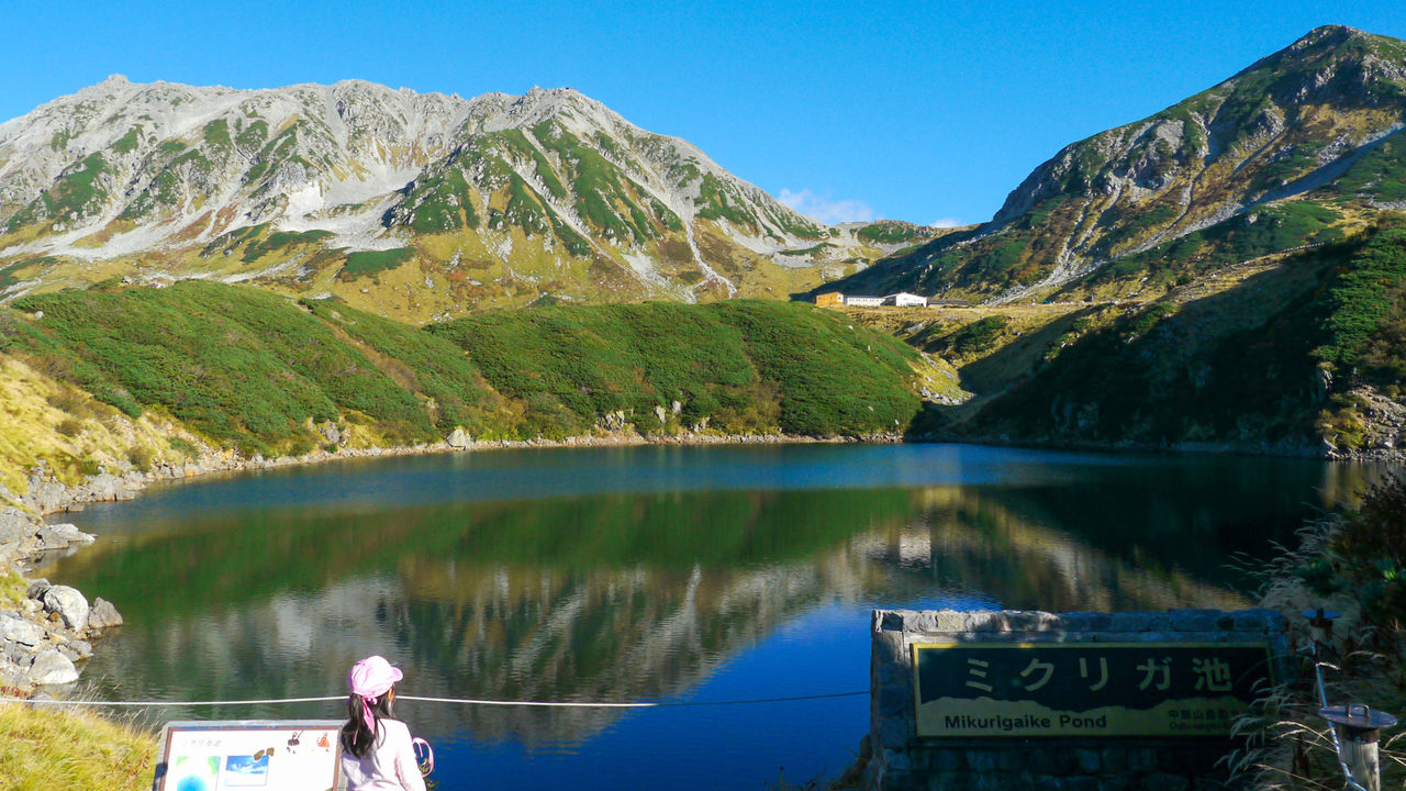
 Mikurigaike in late autumn.
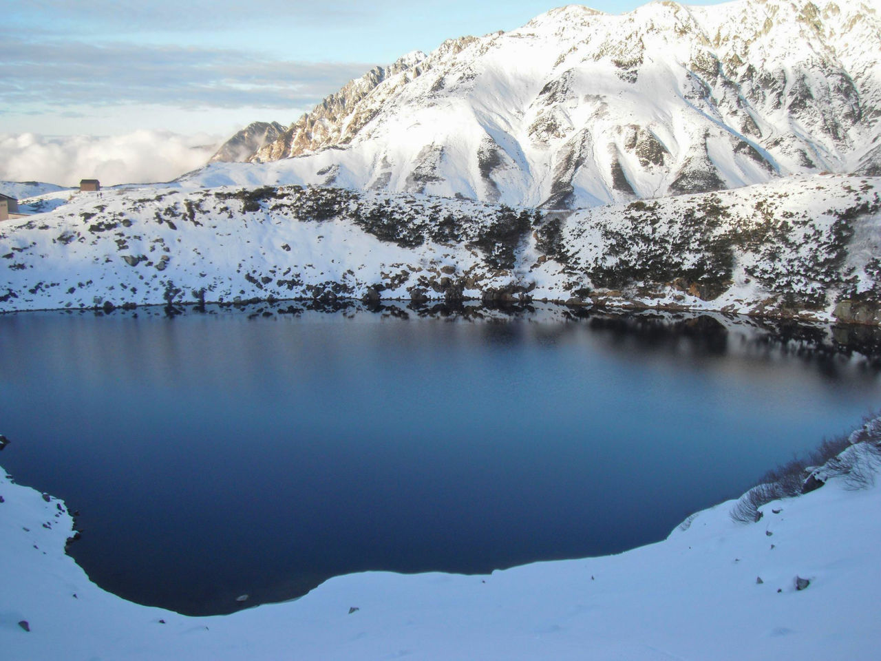
The Murodō plateau in Toyama Prefecture is surrounded by the towering peaks of Mount Oyama, Ōnanji, and Fujinooritate. It is also home to Mikurigaike, a volcanic lake created in an eruption some 10,000 years ago. The lake sets at 2,405 meters above sea level and covers an area of approximately 30,000 square meters. It is 15 meters deep and has a shoreline 631 meters in length.
The lake is covered in snow much of the year, but reflects the surrounding mountains in its lovely deep blue surface from summer to late autumn. The area around the lake is rich in alpine flora like the Japanese stone pine and fauna such as raichō (ptarmigan), a specially protected species of bird.
Access: Approximately 10 minutes’ walk from Murodō Terminal on the Tateyama Kurobe Alpine Route
Website: Tourism Information in Toyama (Mikurigaike)
(Banner photo: At 2,405 meters above sea level, Mikurigaike is surrounded by mountains topping 3,000 meters. Information courtesy of the Toyama Prefecture Tourism and Regional Promotion Bureau, and the Toyama Prefectural Tourism Association.)
Toyama tourism Hokuriku Tateyama Tateyama Kurobe Alpine Route