Japan’s Earthquakes Since 2011
Society- English
- 日本語
- 简体字
- 繁體字
- Français
- Español
- العربية
- Русский
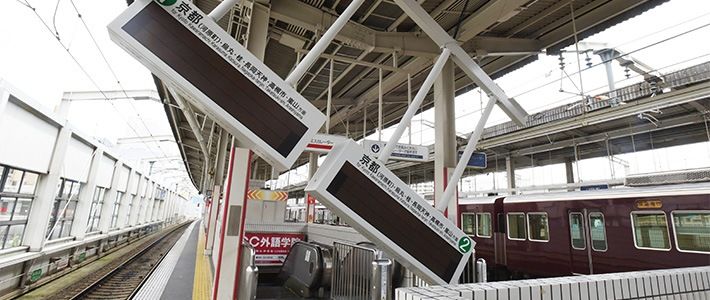
At 7:58 in the morning of June 18, 2018, an earthquake centered in the north of Osaka Prefecture caused shaking of lower 6 on the Japanese seismic intensity scale in the city of Takatsuki, Osaka’s Kita Ward, and nearby areas. Upper 5 intensity shaking was recorded in Kameoka, Kyoto Prefecture, and other municipalities. The Japan Meteorological Agency estimated the temblor’s magnitude as 5.9, later upgrading it to 6.1. The hypocenter was a relatively shallow 13 kilometers below the surface, as the earthquake took place in the crust close to the Arima-Takatsuki Fault.
The Great Hanshin-Awaji Earthquake of January 17, 1995, was centered in the south of Hyōgo Prefecture, to the west of Osaka. It was the first temblor with seismic intensity of 7 since records began and caused devastation in Kobe and the surrounding area.
JMA records indicate that there have been 52 earthquakes with seismic intensity of lower 6 or above since the Great Hanshin-Awaji Earthquake. Of these, five hit intensity 7, the top score on the scale that measures shaking at a certain point on the surface. (The magnitude, meanwhile, expresses the total energy released in a quake.)Earthquakes of Lower 6 Intensity or Above Since the Great East Japan Earthquake
| Date | Time | Hypocenter | Magnitude | Seismic Intensity |
|---|---|---|---|---|
| June 18, 2018 | 7:58 | Northern Osaka Prefecture | 6.1 | Lower 6 |
| December 28, 2016 | 21:38 | Northern Ibaraki Prefecture | 6.3 | Lower 6 |
| October 21, 2016 | 14:07 | Central Tottori Prefecture | 6.6 | Lower 6 |
| June 16, 2016 | 14:21 | Uchiura Bay, off Hokkaidō | 5.3 | Lower 6 |
| April 16, 2016 | 9:48 | Kumamoto, Kumamoto Prefecture | 5.4 | Lower 6 |
| April 16, 2016 | 3:55 | Aso, Kumamoto Prefecture | 5.8 | Upper 6 |
| April 16, 2016 | 1:45 | Kumamoto, Kumamoto Prefecture | 5.9 | Lower 6 |
| April 16, 2016 | 1:25 | Kumamoto, Kumamoto Prefecture | 7.3 | 7 |
| April 15, 2016 | 3:46 | Kumamoto, Kumamoto Prefecture | 6.4 | Upper 6 |
| April 14, 2016 | 22:07 | Kumamoto, Kumamoto Prefecture | 5.8 | Lower 6 |
| April 14, 2016 | 21:26 | Kumamoto, Kumamoto Prefecture | 6.5 | 7 |
| November 22, 2014 | 22:08 | Northern Nagano Prefecture | 6.7 | Lower 6 |
| April 13, 2013 | 5:33 | Near Awajishima, Hyōgo Prefecture | 6.3 | Lower 6 |
| April 12, 2011 | 14:07 | Central Fukushima Prefecture | 6.4 | Lower 6 |
| April 11, 2011 | 17:16 | Eastern Fukushima Prefecture | 7.0 | Lower 6 |
| April 7, 2011 | 23:32 | Off Miyagi Prefecture | 7.2 | Upper 6 |
| March 15, 2011 | 22:31 | Eastern Shizuoka Prefecture | 6.4 | Upper 6 |
| March 12, 2011 | 5:42 | Northern Nagano Prefecture | 5.3 | Lower 6 |
| March 12, 2011 | 4:31 | Northern Nagano Prefecture | 5.9 | Lower 6 |
| March 12, 2011 | 3:59 | Northern Nagano Prefecture | 6.7 | Upper 6 |
| March 11, 2011 | 15:15 | Off Ibaraki Prefecture | 7.6 | Upper 6 |
| March 11, 2011 | 14:46 | Off Sanriku | 9.0 | 7 |
Created by Nippon.com based on data from the Japan Meteorological Association.
Yellow highlighting indicates temblors connected with the Great East Japan Earthquake, green highlighting the Kumamoto Earthquakes.