-
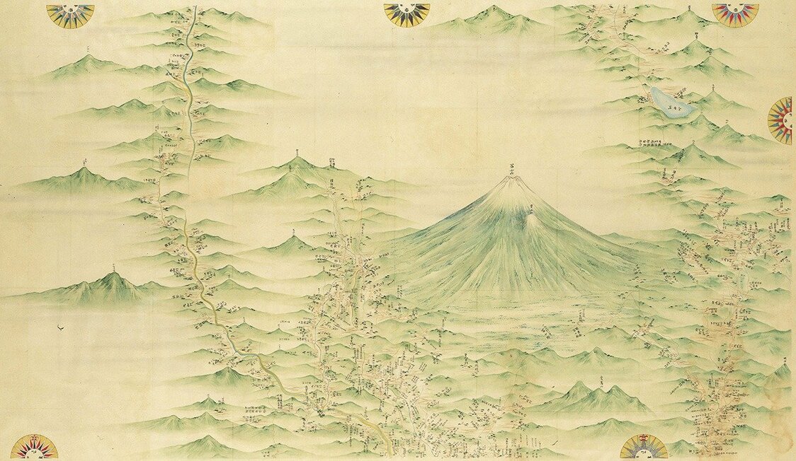
A section of Inō Tadataka’s map of Japan showing Mount Fuji and surrounding areas at 1:36,000 scale. It is 1 of 214 individual, hand-drawn sheets that make up the series. (Courtesy of the National Diet Library)
-
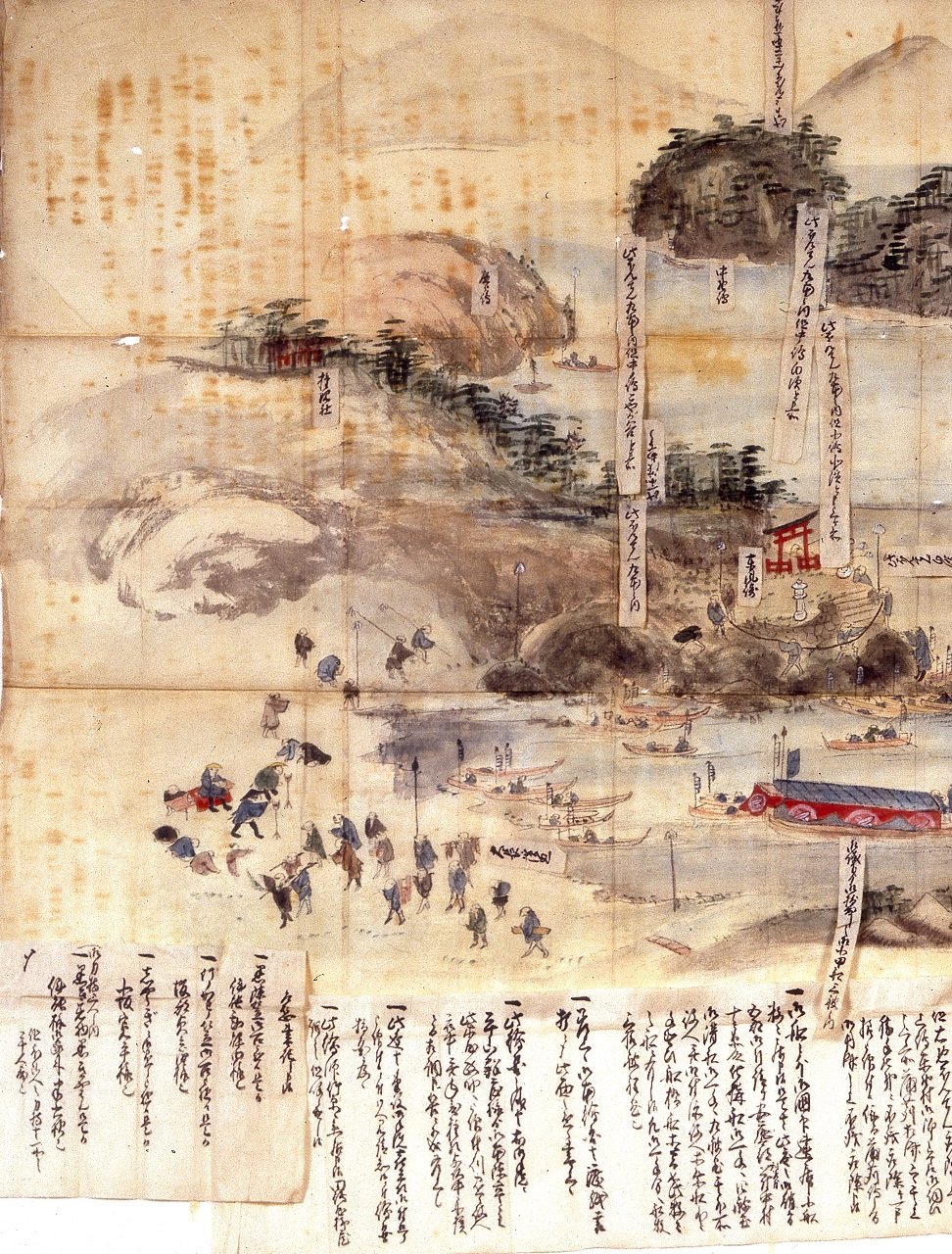
Inō and his band of surveyors in 1806 chart the port in Mitarai district on the island of Ōsaki Shimojima in present day Kure, Hiroshima Prefecture. (Courtesy of Kure City)
-
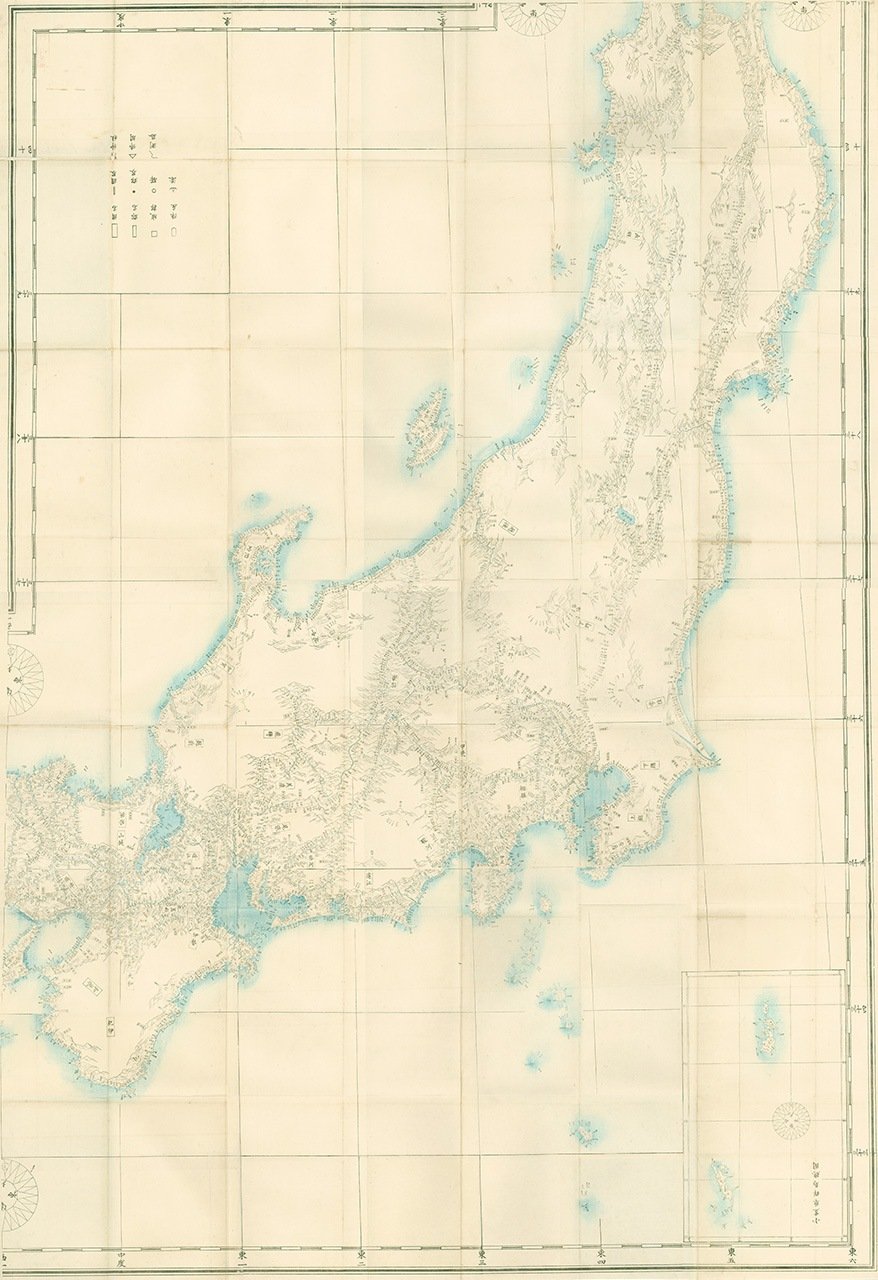
One of a four-map collection covering all of Japan and the island of Karafuto (Sakhalin) created in 1870 based on Inō’s earlier charts. (Courtesy of the Geospatial Information Authority of Japan)
-
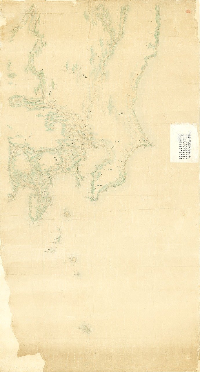
Inō’s map of the Kantō region, part of an eight-map series covering Japan drawn to 1:210,000 scale. (Courtesy of the Geospatial Information Authority of Japan)


 Read in other languages