-
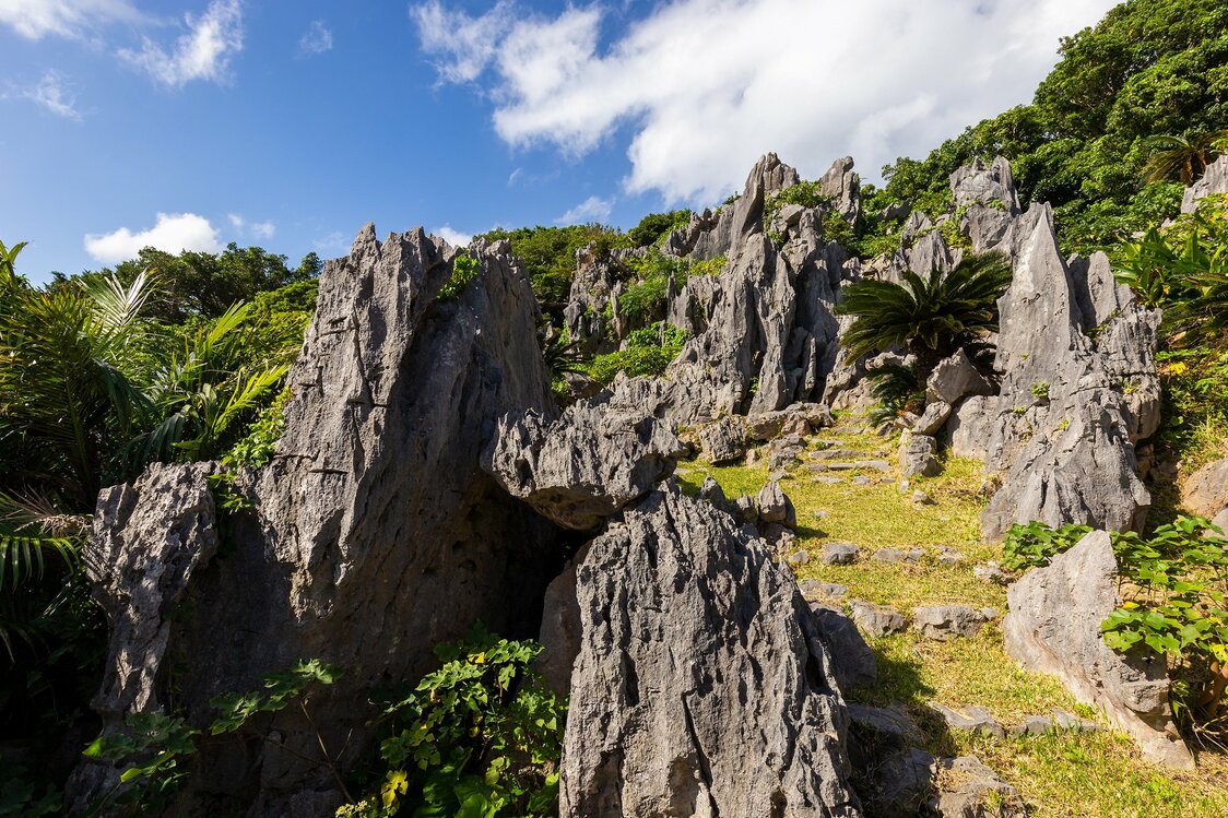
Huge rocks are a feature of the Yanbaru landscape. The region is the world’s northernmost limit for subtropical karst topography.
-
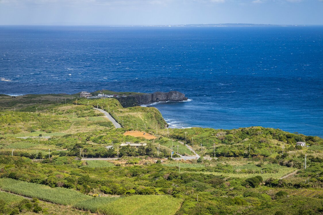
Cape Hedo viewed from the Churaumi Lookout at Daisekirinzan. Yoron Island is faintly visible in the distance to the right.
-
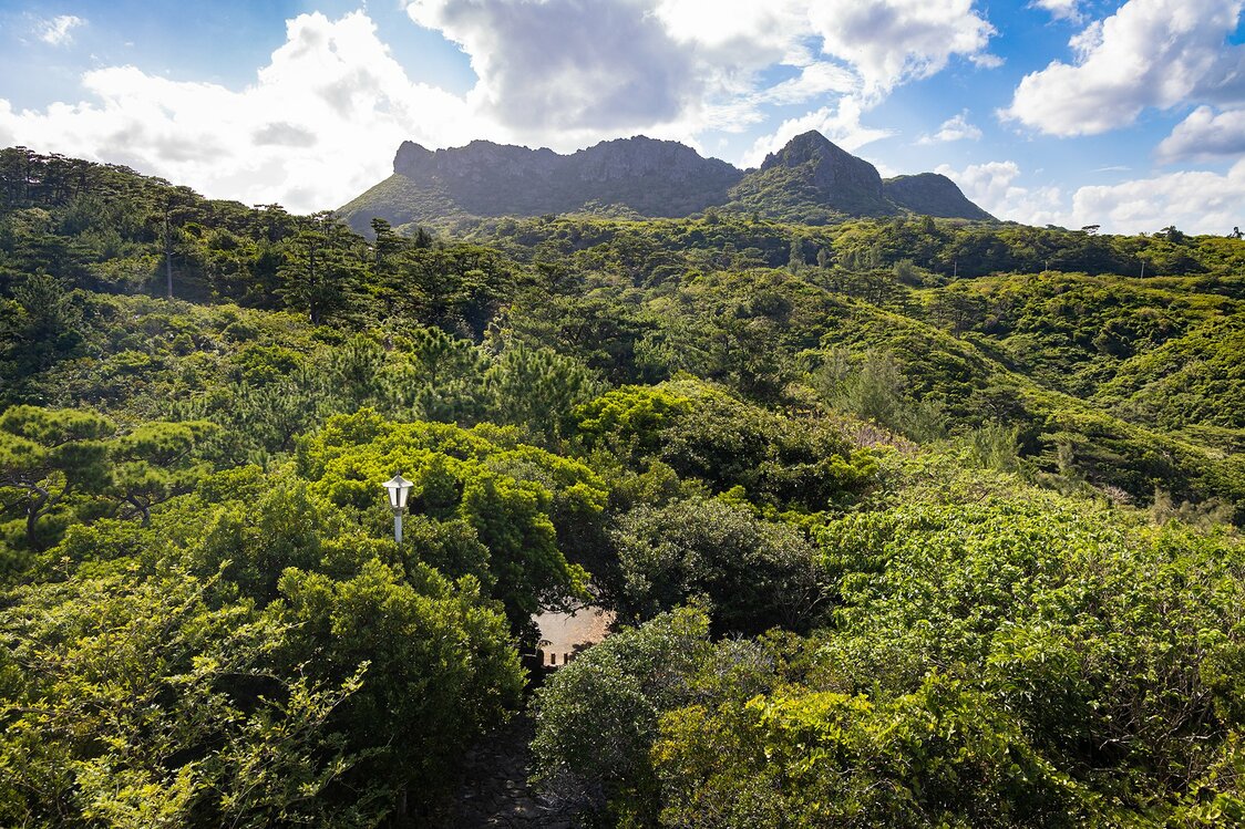
A view of the four peaks of ashimui from the Yanbarukuina Lookout. The taller peak on the right is Mount Iheya, behind which lies Daisekirinzan.
-
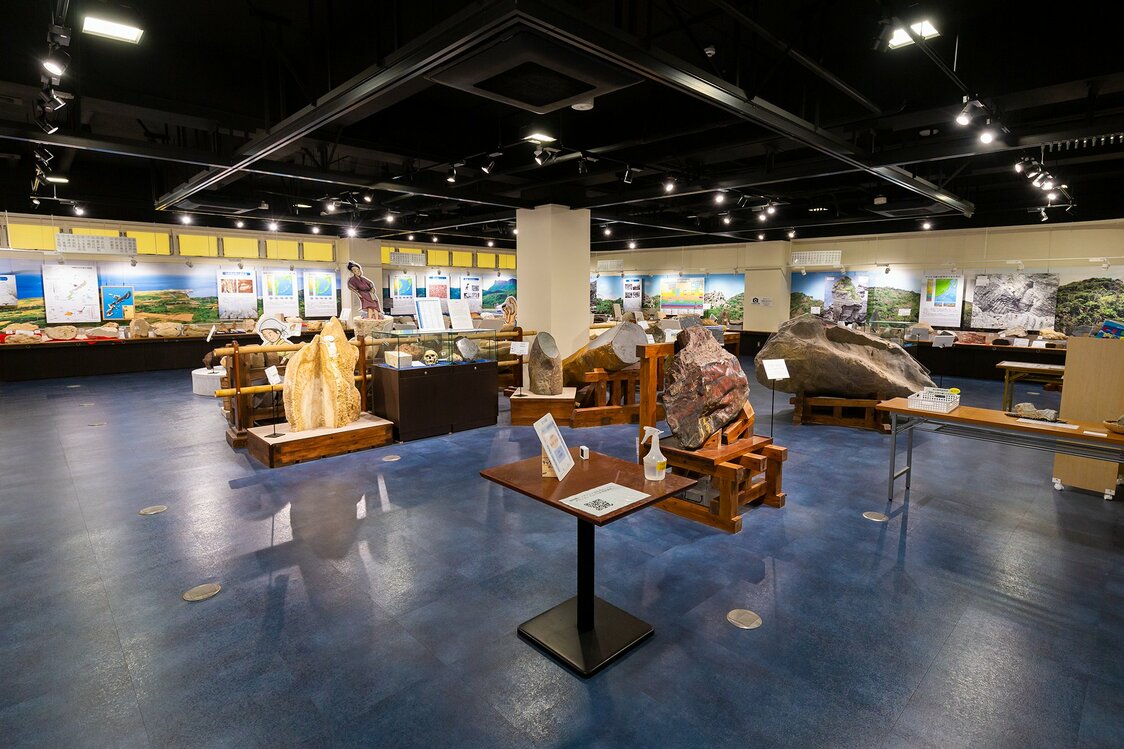
The ticket office houses the Okinawa Stone Museum, where visitors can examine stone implements and unusual rock specimens found on Okinawa. Admission is free.
-
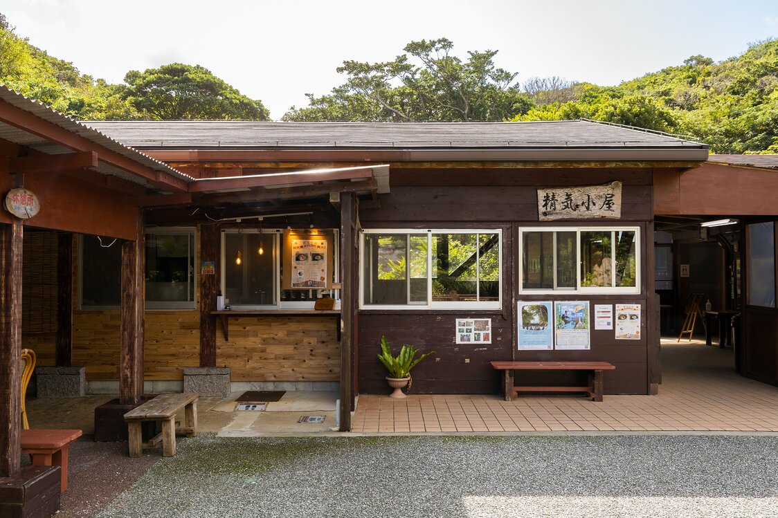
All trails start at the Seikigoya hut, a rest spot where food and beverages are available.
-
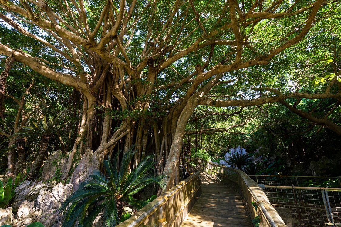
Chinese banyan and other subtropical vegetation can also be viewed up close on the wheelchair-accessible trail.
-
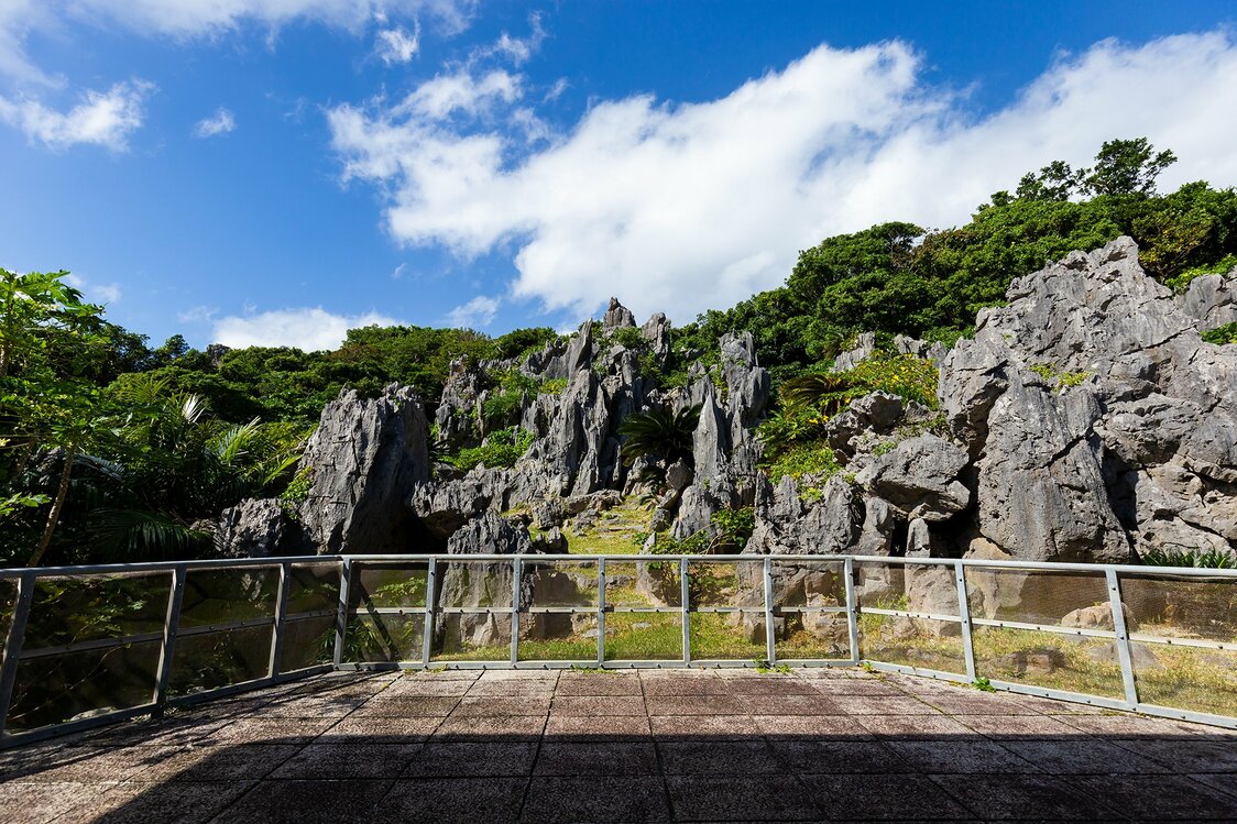
Visitors get a close-up look at fantastical rock formations from the observation deck.
-
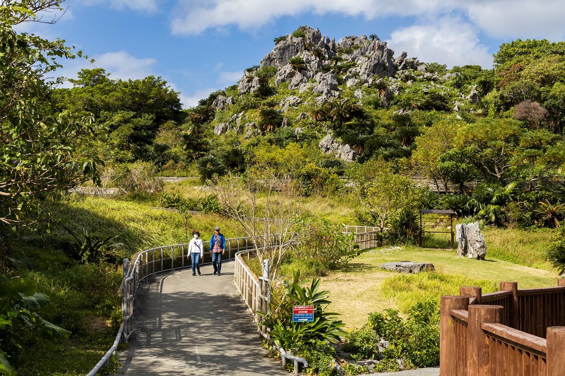
The final stretches of the Wonder of Rocks and the Churaumi Ocean View Trails converge at the wheelchair-accessible trail. All three end at Seikigoya.
-
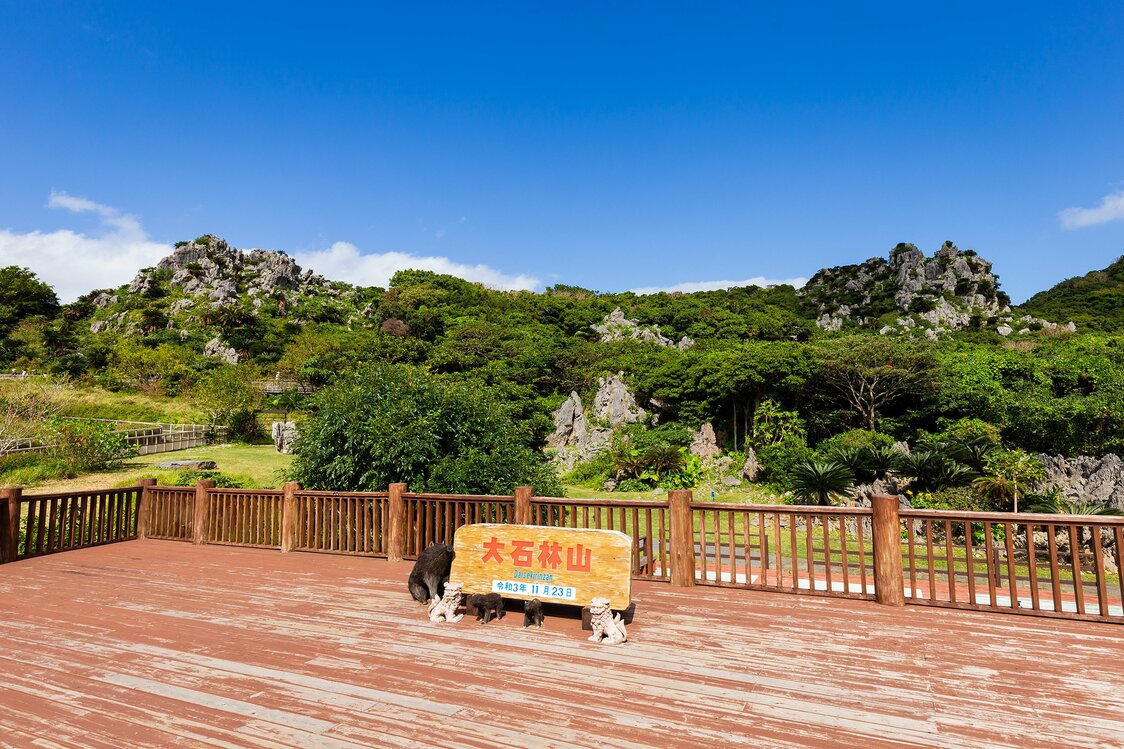
The view from Seikigoya. Gokūiwa, symbol of Daisekirinzan, stands to the right.
-
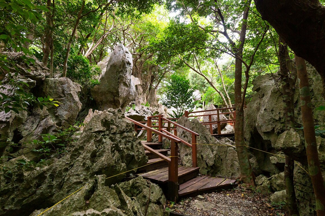
On the Wonder of Rocks Trail, visitors can view karst rock formations.
-
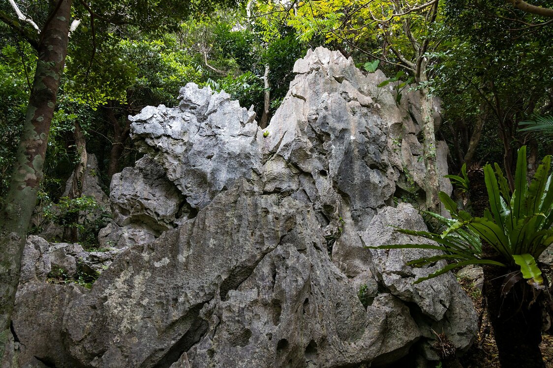
Many of the boulders resemble animals, such as this camel-like rock.
-
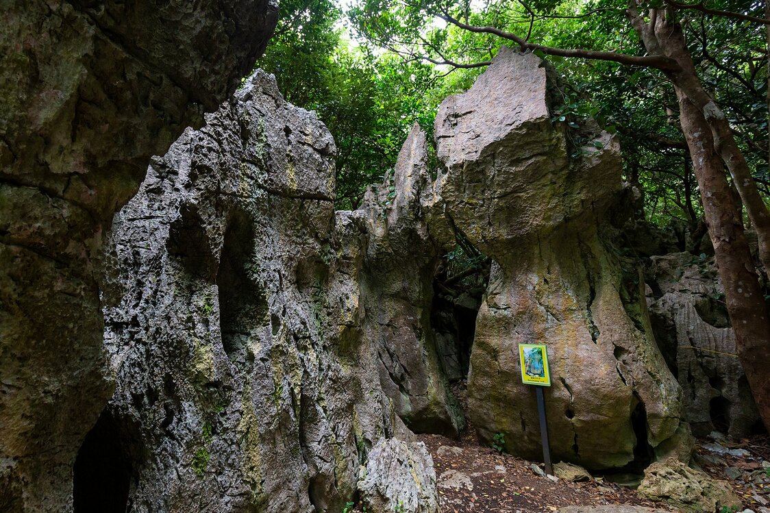
Daisekirinzan is also known for its spiritual atmosphere. To the right is the enmusubi rock.
-
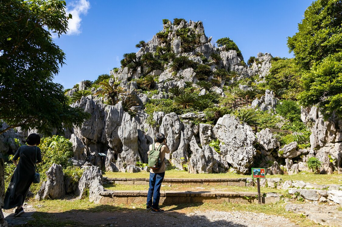
Gokūiwa at its most photogenic.
-
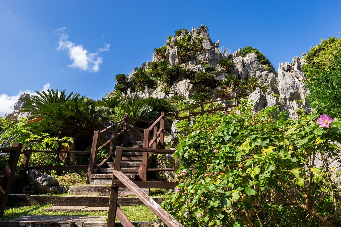
The stairs by Gokūiwa take visitors to the Churaumi Lookout.
-

The Dragon King Rock atop Gokūiwa has been venerated through the ages.
-
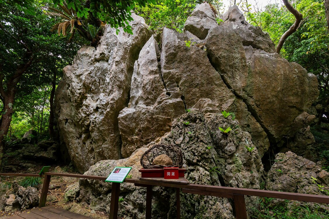
The Stone Forest Wall is reputed to have the most powerful spiritual presence. It looks especially awe-inspiring in the morning sun.
-
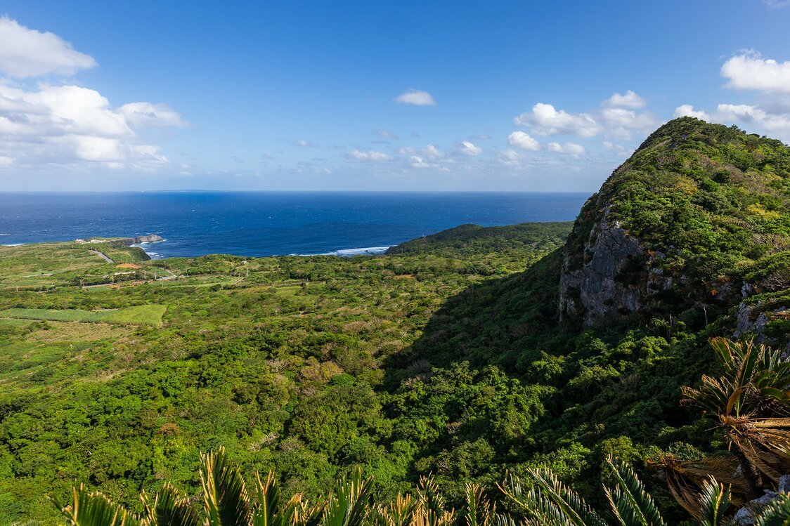
The view from the Churaumi Lookout. The promontory on the right is Mount Iheya, with Cape Hedo in the distance.
-
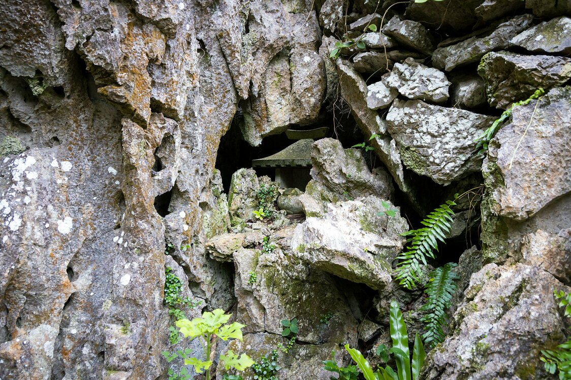
Some small devotional spots are easy to overlook.
-
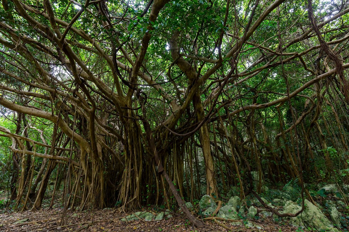
The Banyan of Happiness, where some say one can hear the voices of the spirits.
-
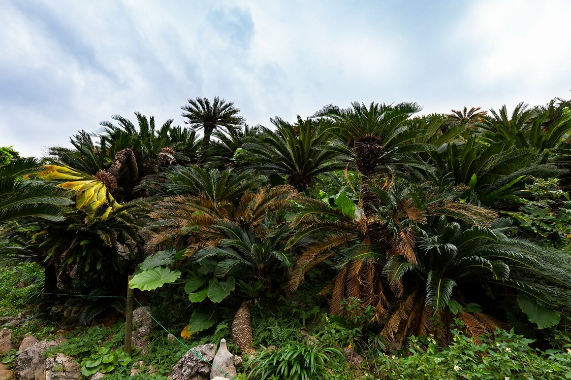
Cycads, some 60,000 in all, grow in colonies at Daisekirinzan.
-
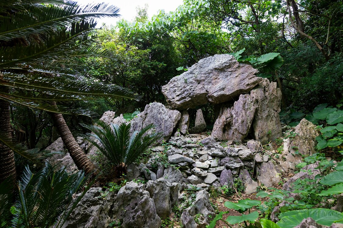
The stones at Agarime, another place of worship, are arranged to capture the morning light.
-
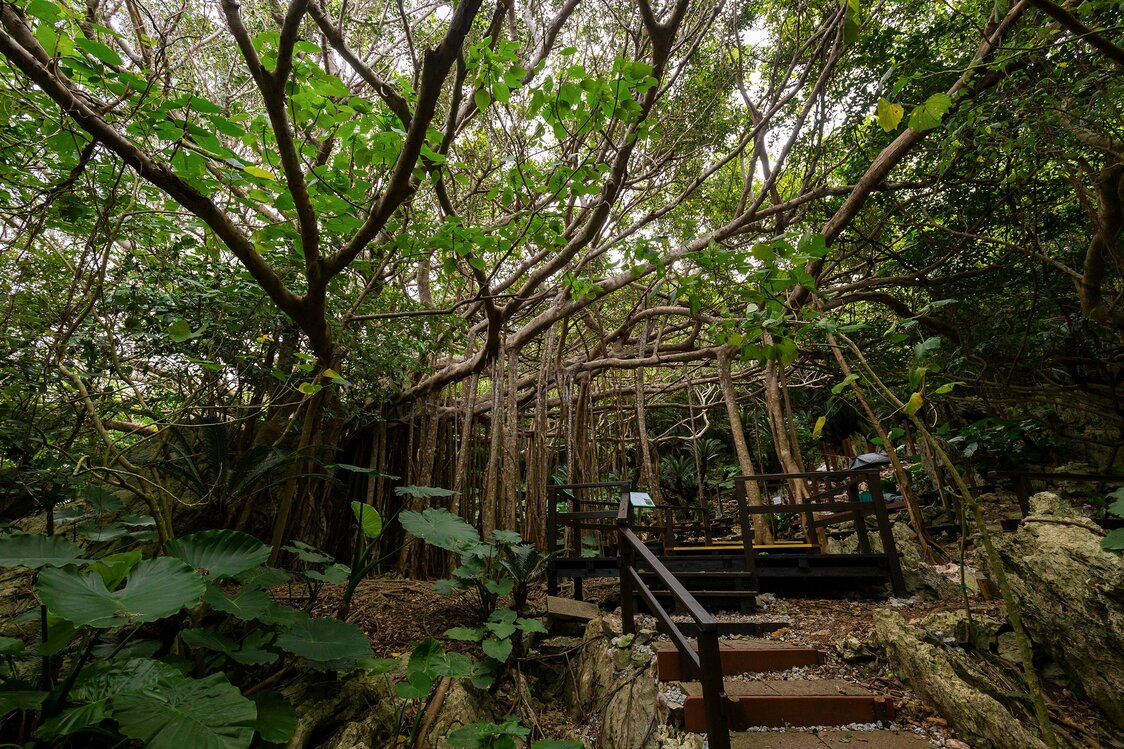
The Banyan of Worship stands near the ticket office.
-
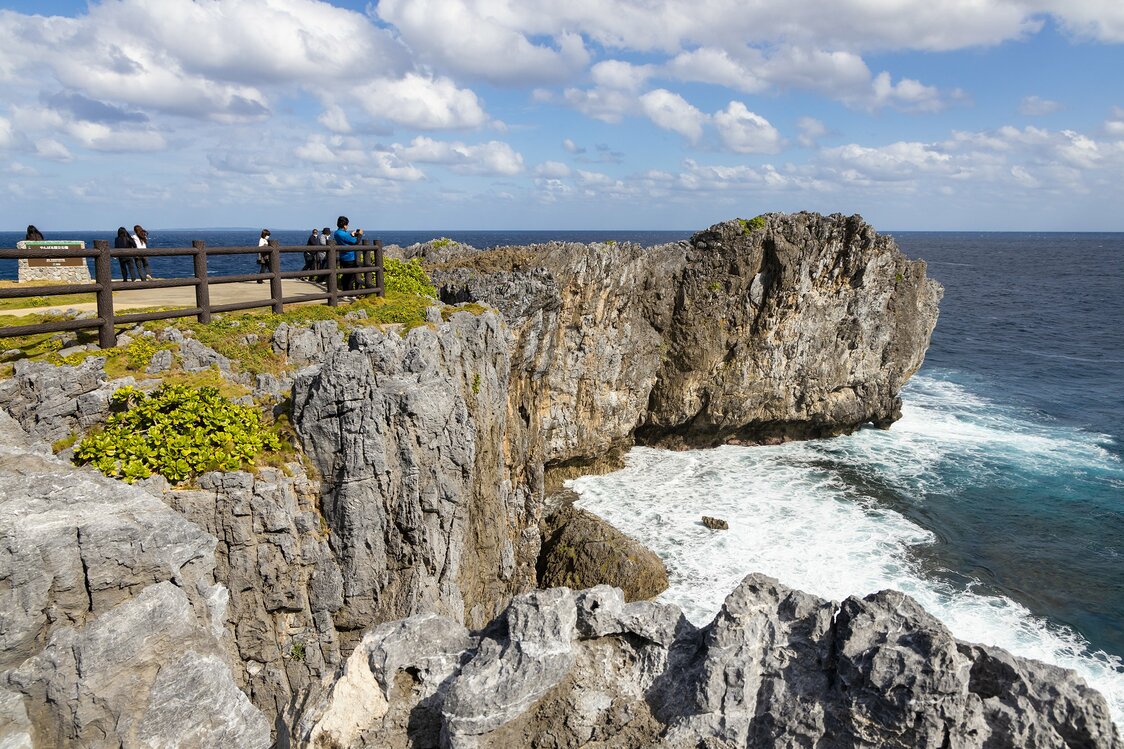
Cape Hedo, the northernmost point on the main island.
-
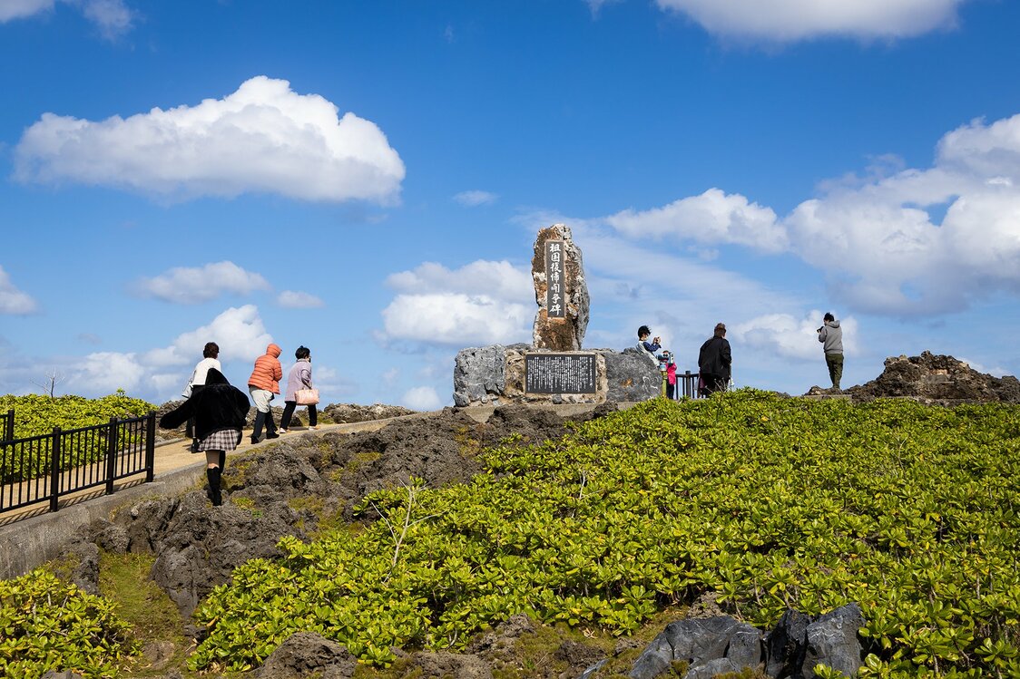
A monument commemorating the struggle for the return of Okinawa to Japanese rule was erected in 1976. Activists would light signal fires here and across the water on Yoron Island, the closest part of Japan to Okinawa until reversion.
-
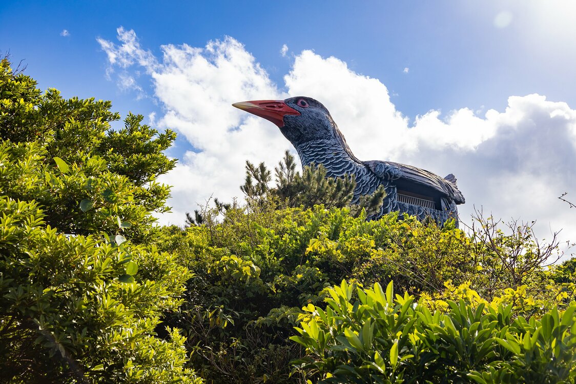
This giant Yanbarukuina signposts the lookout of the same name.
-
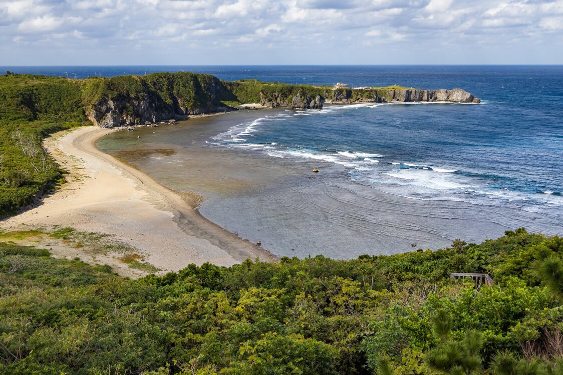
The view of Cape Hedo from the Yanbarukuina Lookout. Uzahama beach in the foreground is a popular spot.
-
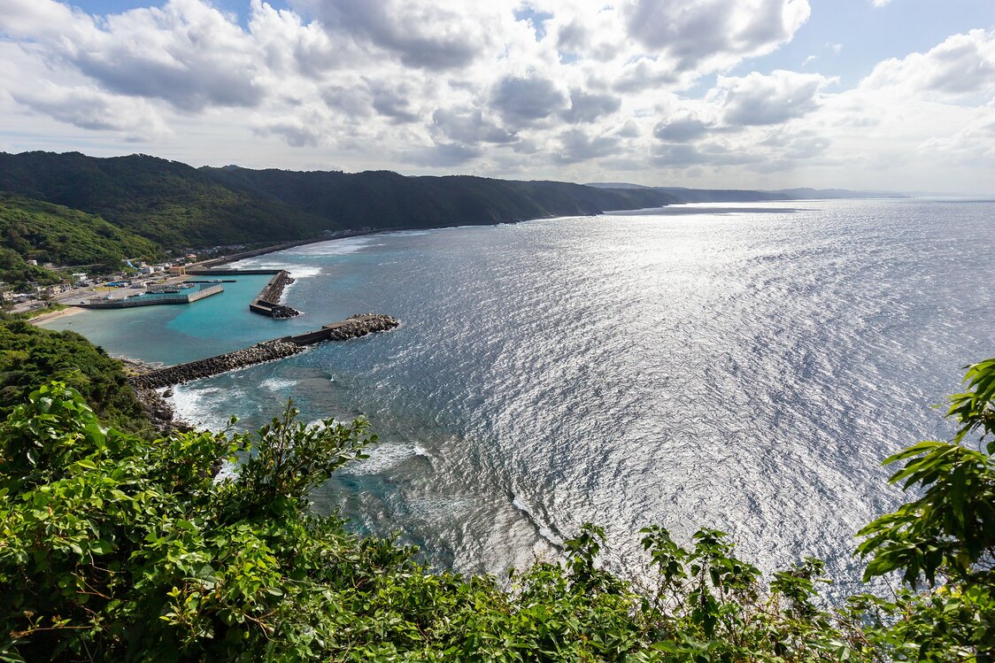
The view from Kayauchibanta is designated a “New Hundred Best Spots for Okinawa Tourism.”
-
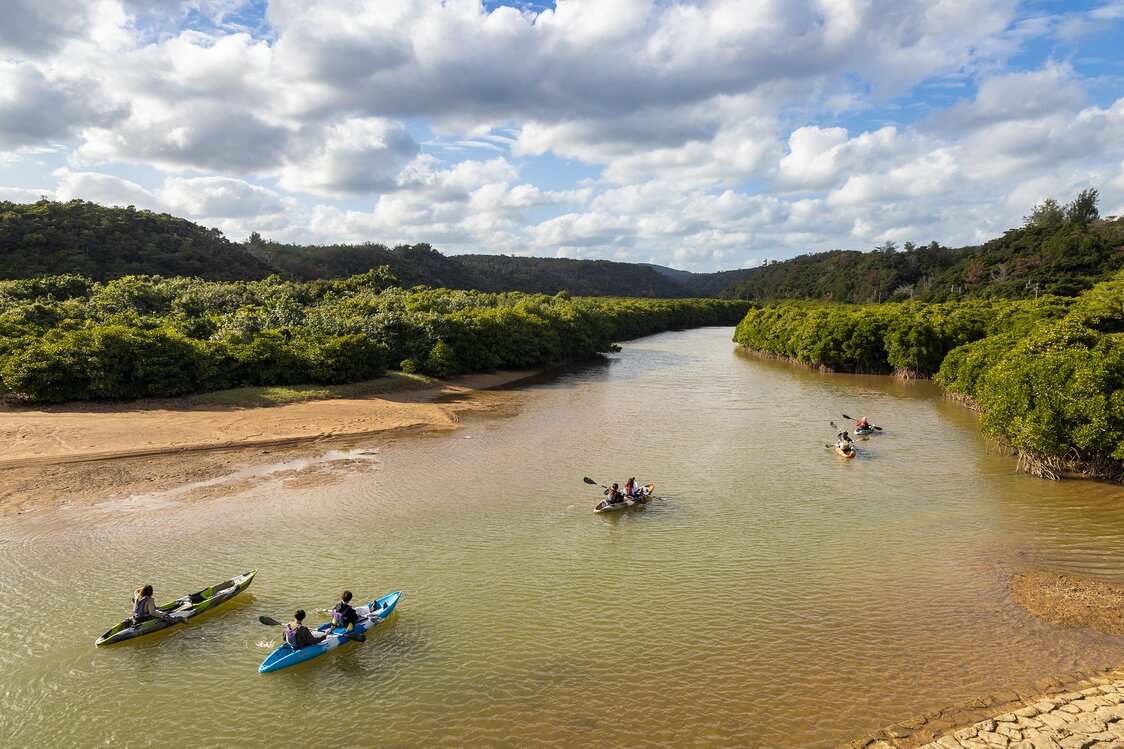
On the way back from Daisekirinzan, visitors can try activities like canoeing through mangrove forests on the Gesashi River in Higashi or river trekking at Taa Falls in Ōgimi.


 Read in other languages