


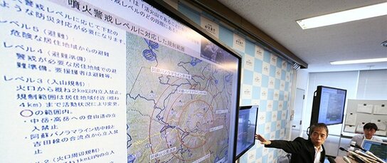
Tapping the Latest Technology
JMA has long been a leader in the use of advanced information technology. In the mid-1950s the agency introduced weather radar, which can constantly monitor the location of precipitation, and built a network of radar stations covering the whole country. In 1974 it started operating AMeDAS (Automated Meteorological Data Acquisition System), a system for the automatic routine gathering of weather-related data. The agency now has AMeDAS stations operating at some 1,300 locations across Japan.
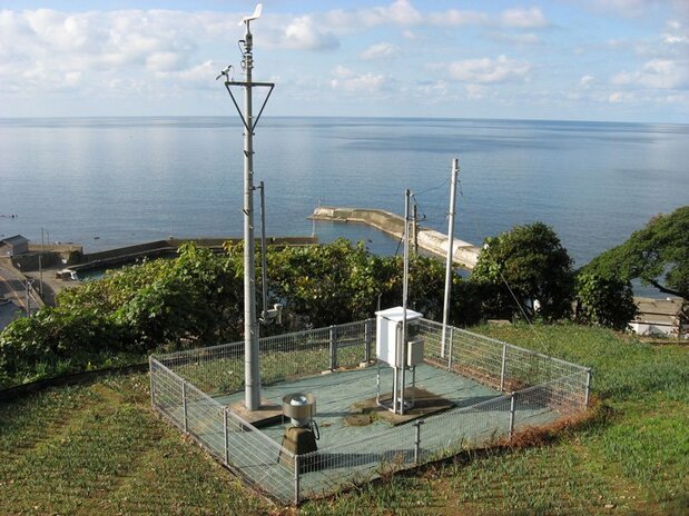
 An AMeDAS station for automated monitoring in Koshino, Fukui Prefecture. (Photo courtesy of JMA.)
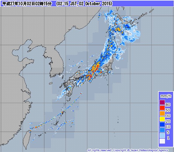 JMA map showing current precipitation levels nationwide, based on weather radar and AMeDAS data.
By combining the data from weather radar and AMeDAS stations, JMA can provide real-time information about current precipitation and forecasts for the next few hours, presented in easy-to-view maps.
JMA also uses radiosondes, radio-equipped devices that are borne by balloons to altitudes of up to 30 kilometers, where they measure pressure, temperature, humidity, and wind. These single-mission instruments are released daily from 16 locations around the country.
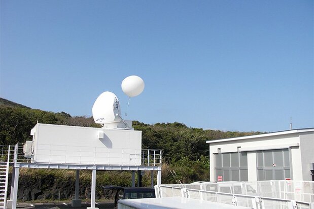 A radiosonde for upper-air observation is carried aloft by balloon from a station on the island of Hachijōjima. (JMA)
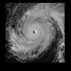 An image from Himawari 8 showing a typhoon with a clearly defined eye. (JMA)
In 1977, JMA launched its first Himawari meteorological satellite, and this summer it started operating its eighth. These satellites, positioned in geostationary orbits some 35,000 km above the equator, are indispensable tools for observation of typhoons and other phenomena, and the data from their images concerning surface temperatures and cloud movements is essential for numerical weather prediction, a subject to which I will return below.
As the basis for its earthquake early warnings and tsunami warnings, JMA uses data from its network of seismometers and seismic intensity meters around the country, along with earthquake and tsunami observation instruments attached to undersea cables. The agency processes the data using its Earthquake Phenomena Observation System in Tokyo and Osaka, based on which it determines the hypocenter and issues tsunami warnings as required.




 Read in other languages